


Game engine technologies used in video games allow planners to model the future of natural environments. These technologies are used in the planning of Kalasatama district.
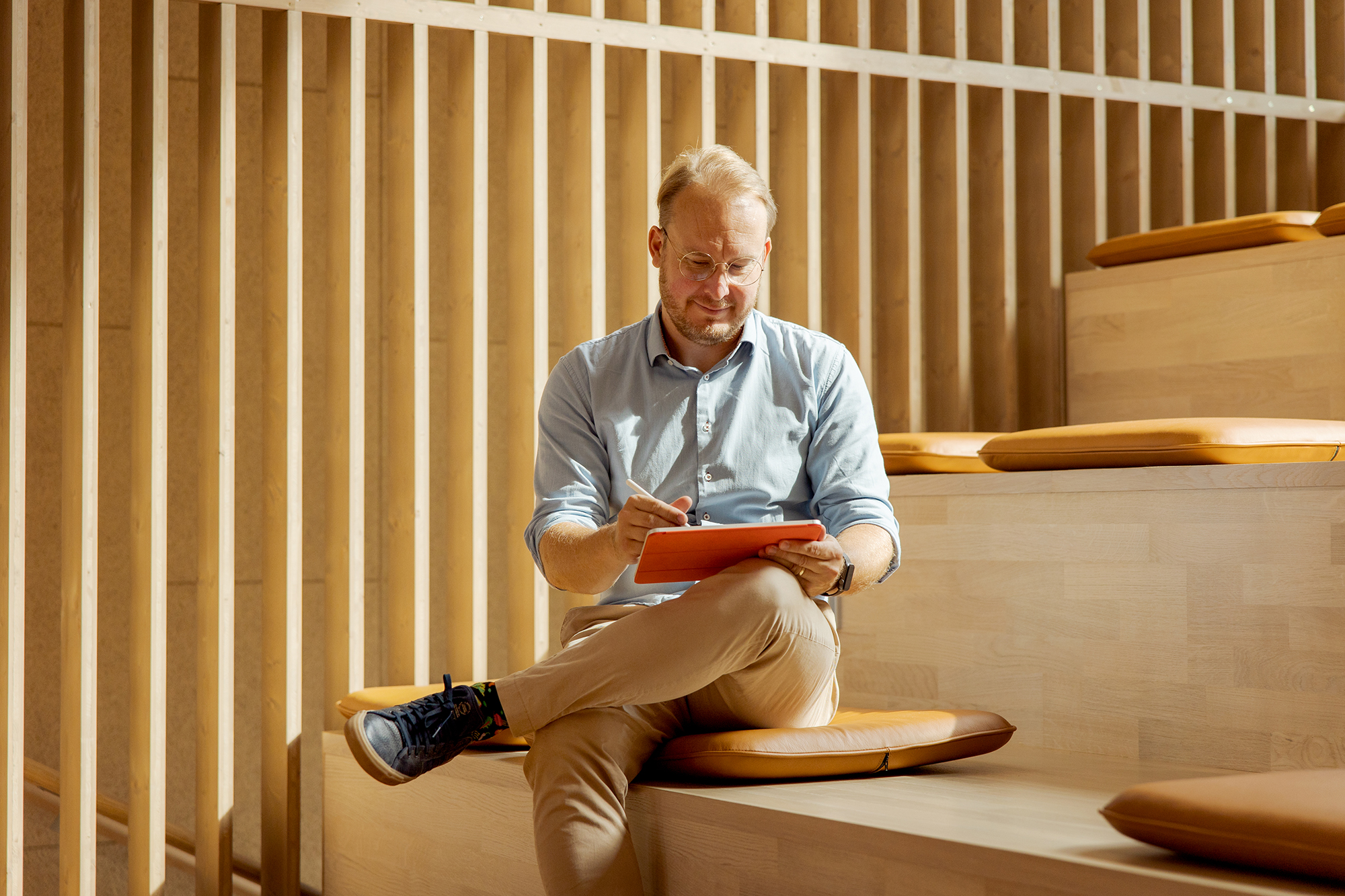
Northern Kalasatama is being planned in a unique way, with the area’s urban planning team being assisted by technical expert Lauri Lemmenlehti from the B.Green project.
To help with the land use planning, he is building a digital model of the planned district’s green spaces and parks, the level of detail of which extends all the way down to the plants in city block courtyards and the green roofs of buildings. These types of 3D tools are already commonplace in building design.
“Three-dimensional data models can be used to easily calculate things like the number and price of bricks needed in a building, for example,” Lemmenlehti explains.
A digital model makes it easy to create different design options and cost calculations. It can also be used to visualise what the designs will look like in practice for the benefit of decision-makers and prospective homeowners.
By contrast, the 3D-modelling of natural environments is still in its infancy. Park plans are still being drafted as two-dimensional maps. The reason for this is clear, however.
“The data models used by building designers are not very good for 3D-modelling natural environments because nature is constantly changing,” says Lauri Lemmenlehti.
Modern technology makes it easy to create 3D models of roads and buildings to speed up planning. But modelling natural environments, which are essential for the well-being of city residents, is significantly more challenging.
3D models have numerous applications
The potential applications of 3D models of natural environments are numerous. They could be used for smart green planning to make increasingly densely built districts much more pleasant for residents. Trees could be planted in locations where they would provide the most protection against the sun and wind. Green roofs and rainwater retention pools could be placed at key locations to prevent flooding as rain volumes increase due to climate change.
In addition to traditional urban parks, new city districts are also designed to include green walls and roofs, flood parks and stormwater streets. Assessing how all these features impact things like the microclimate or windiness of the city is, however, impossible without digital modelling tools.
Lauri Lemmenlehti from the B.Green project is a landscape architect by education – and the top expert on virtual natural environments in Finland. This expertise was already apparent from his final thesis in landscape architecture, for which he created a simplified model of the natural environments of Finland, suitable for use in video games. The idea was to provide video game developers with a basis for building game worlds set in Finnish environments.
“Modelling natural environments requires new modelling philosophies and methods, which will most likely be built upon video game engine technologies,” Lemmenlehti predicts.
Lemmenlehti’s dream is to create a digital twin of Helsinki encompassing the entire physical city, including natural environments modelled with the same level of detail as seen in video games like Grand Theft Auto 5, which features a 120-square-kilometre, fictionalised version of California, complete with the Hollywood Hills and vineyards.
Video games serve as a good accelerator for developers of digital landscaping tools.
“Nowadays, the most widely enjoyed landscapes in the world are no longer natural landscapes, but virtual ones found in games like GTA5,” Lemmenlehti assesses.
The resources that the video game industry has for creating these landscapes are also vast. For example, the ‘natural’ landscapes of GTA5 were modelled by a team of 30 people over a period of over two years.
Kalasatama as a testbed
Forum Virium Helsinki’s B.Green project is testing new ways of modelling natural environments and utilising the resulting digital models in the planning of Kalasatama.
One of the pilot projects thought up by Lemmenlehti was carried out in collaboration with startup company Anarky Labs. The pilot involved Lauri Lemmenlehti using a virtual reality headset and a flying drone to get a bird’s eye view of the city. This makes it easy to map the green spaces of the city: the drone positions the trees it sees on a map, and the landscape architect is left with identifying the species and determining the size of the virtual tree located with an augmented reality headset. In the future, even the determination of the species can be automated.
Another B.Green pilot project gives the residents of Kalasatama a chance to see what Loviseholminpuisto Park, which is currently being built in Sompasaari, will look like once it is finished. Residents can download an augmented reality application onto their own phones and then use their phone screen to see how the park will fit into the current urban landscape once the trees reach their full height.
Lemmenlehti believes that these types of approaches to showcasing city plans will soon become commonplace.
“You will be able to go to the site to examine 3D plans on your own. All you need is your smartphone or an augmented reality headset to see what a new building or park will look like once finished.”
The urban planners of Kalasatama already got to try out a new approach to planning green spaces in the Virtual Verdure project that preceded B.Green in Helsinki.
“Green spaces are becoming increasingly important as the city grows denser,” says architect Janni Backberg, one of the urban planners of Kalasatama.
The workshops of the Virtual Verdure project brought together the area’s land use planners, transport and landscape designers and stormwater experts to examine model blocks and street cross-sections and come up with ways of connecting public and private green spaces to each other. Making green spaces a part of streets and buildings requires close cooperation.
“The ecological system of a residential area consists of both public parks and private yards. Natural environments need to be built into a network that is connected to existing natural environments,” says Lemmenlehti.
The digital tools being developed in the B.Green project promise to make this type of cooperation easier than ever while also allowing local residents to participate in the planning. The urban planners of Kalasatama have high hopes for the project.
“Hopefully we will soon have a digital twin of northern Kalasatama that also models natural environments,” says Janni Backberg.
The digital environmental model could show residents what the area will look like 40 years from now. It could also be used by green space planners to simulate the wind conditions of the area or model stormwater runoff as early as the planning stage.

“Helsinki is investing heavily in environmental planning. My hope is that digital models of natural environments will have a positive impact on planning quality,” Lemmenlehti ponders.
The land use planning for the southern part of Kalasatama was completed years ago. The construction is currently in full swing, and Lemmenlehti is pleased with how the new Sompasaari area is turning out. However, the first thing that many people who visit the seaside area for the first time notice is how windy it is.
“The area could be further improved with smart green construction between the buildings,” Lemmenlehti points out.
Creating green infrastructure is easiest when it is taken into consideration long before the actual construction, during the drafting of the local detailed plan for the area.
Text: Petja Partanen
Photos: Maija Astikainen
